(Last official census of 2017 says 7,750 inhabitants)
Language:
Rapa Nui
Rapa Nui
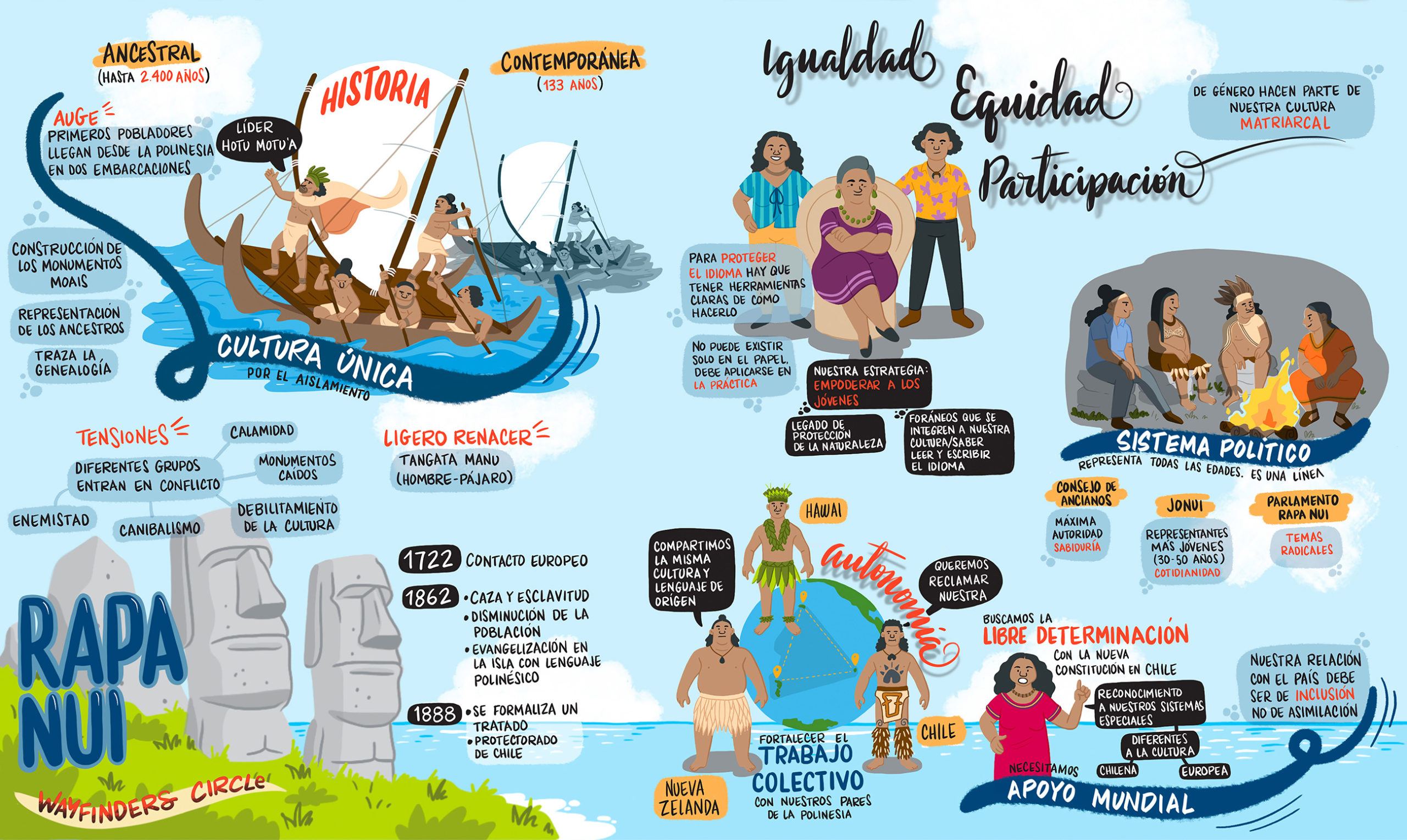
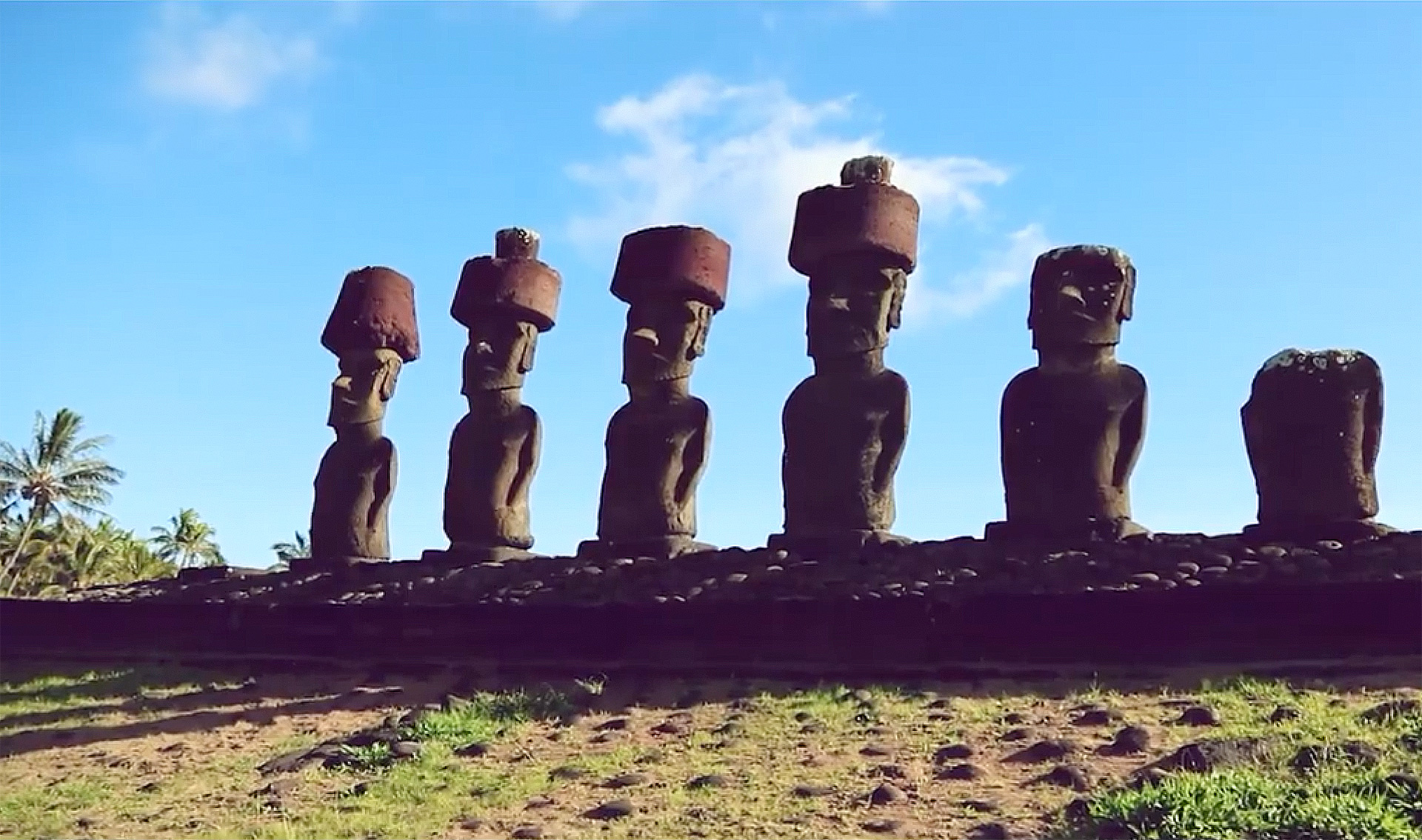
The Municipality of Rapa Nui is located in the southeast Pacific. It is an indigenous territory on a small island in the middle of the Pacific Ocean, about 3,800 kilometers from Chile and 4,000 kilometers from Tahiti. Rapa Nui has the largest Multiple Use Marine Protected Area in Chile, with 728,000 square kilometers. Its national park is comprised of more than 40% of the territory and was declared a World Heritage Site by UNESCO in 1995.
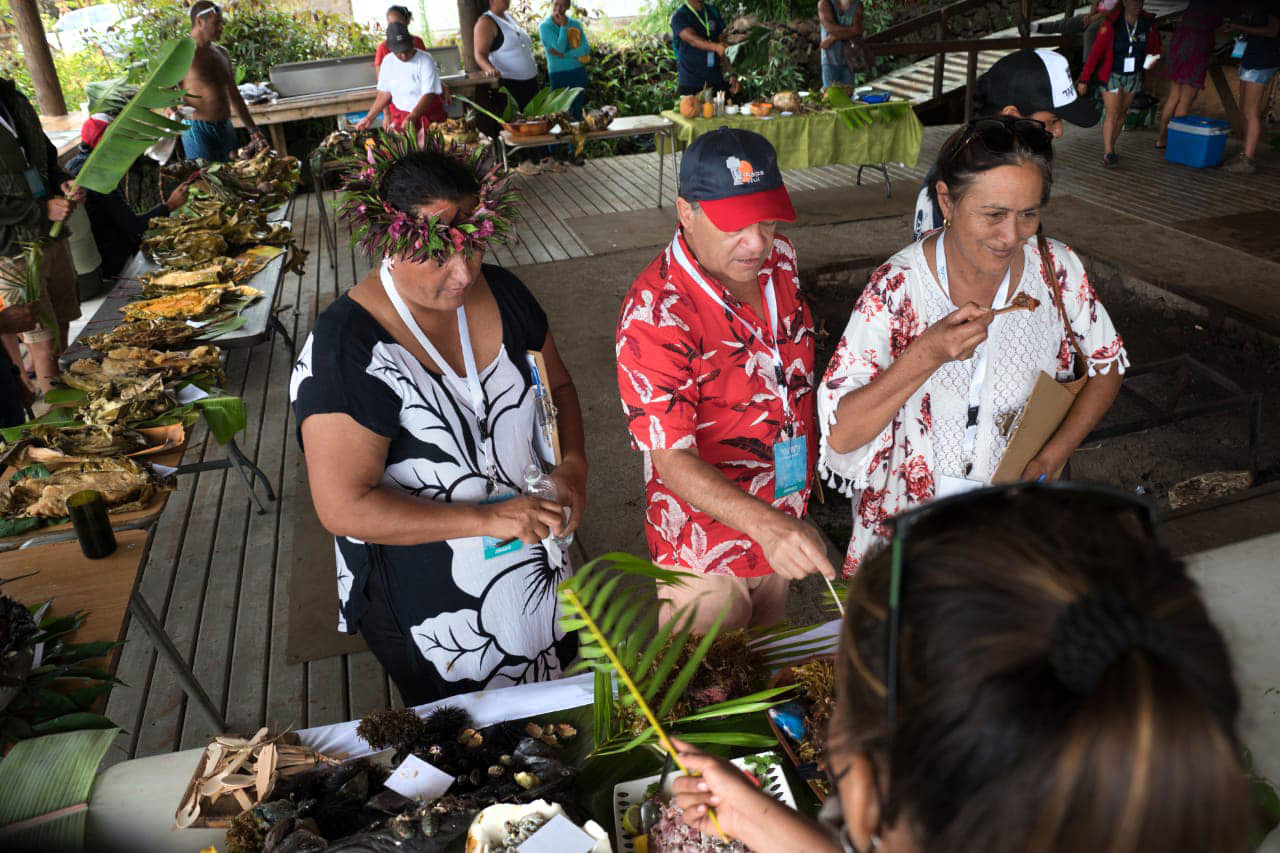
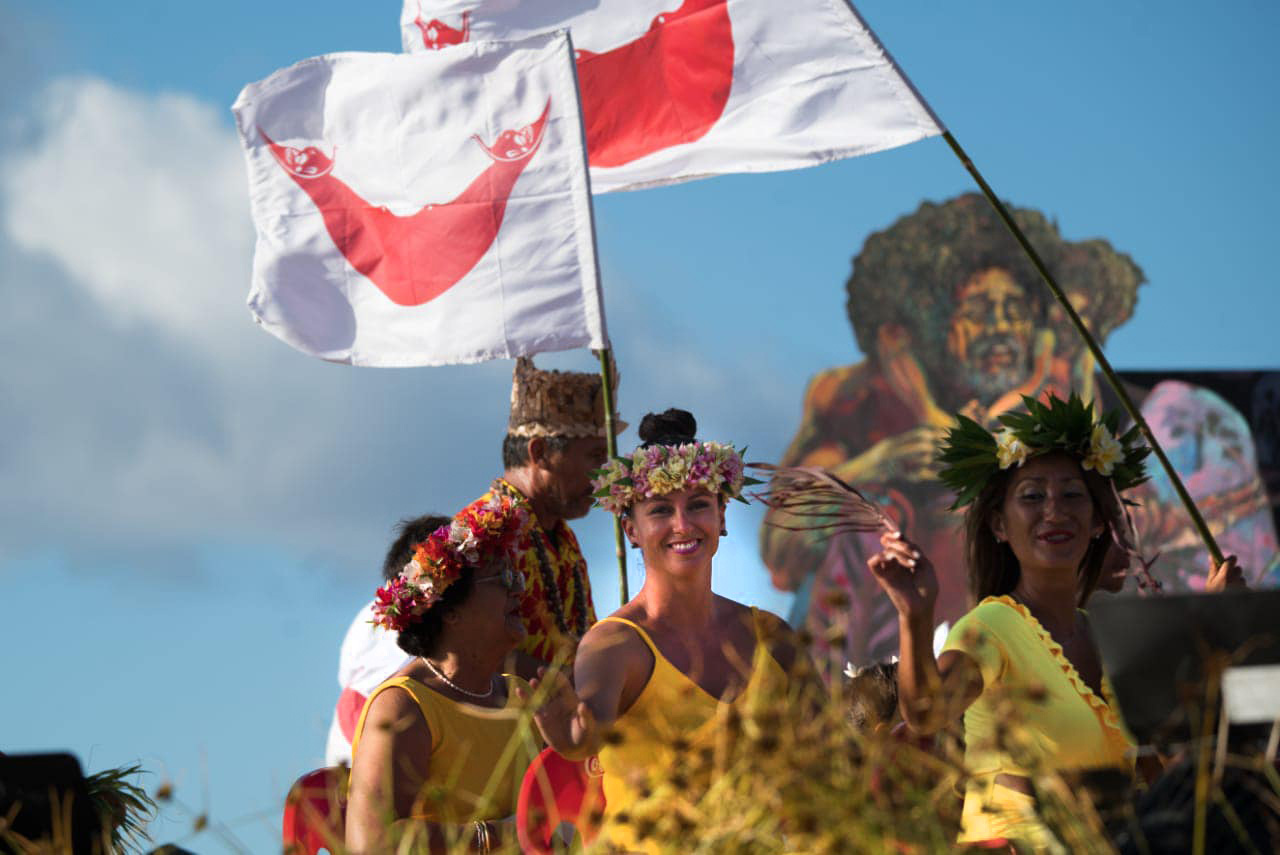
The island has about 16,360 hectares and is home to 36 family clans. Rapa Nui has its own indigenous Municipality, which is part of the official government at the state level and operates together with the traditional chiefdoms, which channel the needs of the Rapa Nui people through their Municipality.
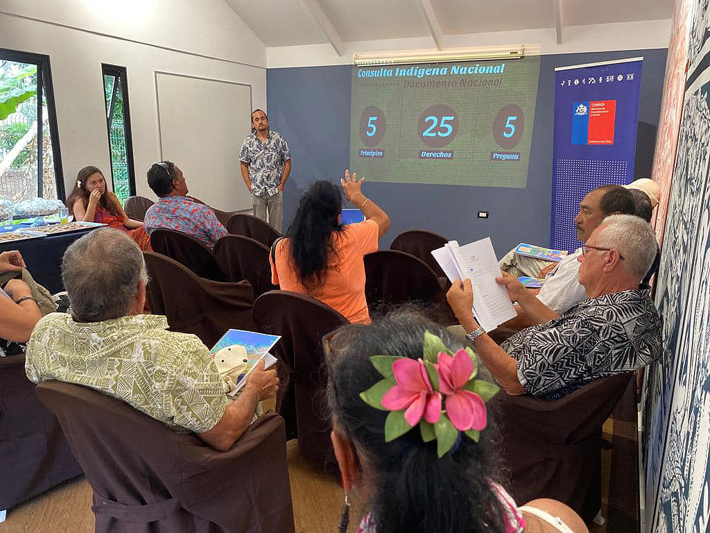
Currently, the governance structure of the Rapa Nui people has mainly three traditional representative bodies: the Council of Elders, the Rapa Nui Parliament, and the Honui or Assembly of Clans, which represents the 36 families that integrate the Rapa Nui people. These entities work in consultation and collaboration with the Municipality.
In 1966, after constant protests and demands of the Rapa Nui people, the State of Chile recognized them as citizens with rights with the creation of the Department of Easter Island and its Municipality.
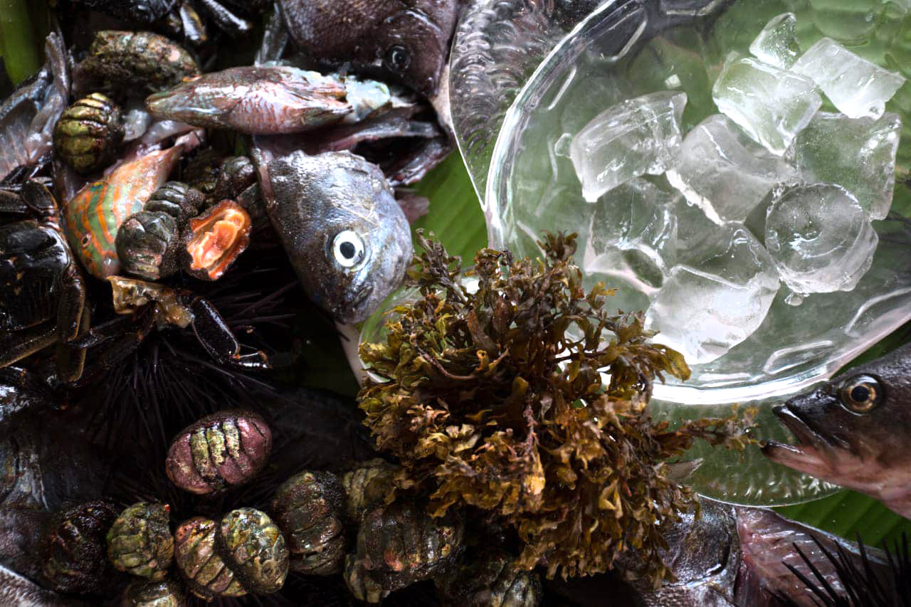
The Rapa Nui people are working towards creating their own government with constitutional recognition, which will allow them to effectively exercise their rights to self-determination. Food, a healthy environment, a spiritual connection with the land, and life in society are essential for the Rapa Nui.
Images provided and used under permission by Municipalidad de Rapa Nui. Copyright belongs to its rightful owners.
